
Survey
Land Surveyor

Most people aren’t aware what a land surveyor does or what land surveying is. Surveying is the technique, professions, art and science of determining the terrestrial or three-dimensional position of a point and the distances and angles that are measured between them. This technique is used in order to establish the size of a plot…
Read MoreProperty Survey
When you’re purchasing a home, there are many different obstacles to overcome. For example, homebuyers may need to get a property survey before they close on their new place. The reason that Property surveys are done is to determine and confirm land boundaries. Examples would be the plot of land a home sits on, and…
Read MoreAs-Built Survey
As-Built Surveys verify compliance with approved design plans and provide a legacy record for both internal and external use. Frequently, as built surveyors will use precise lasers to determine the measurements. They use these measurements to create a rendering that shows the exact layout and dimensions of the building. Along with the survey you should…
Read MoreWhy is it important to use a licensed land surveyor?
When you purchase a new home or insure your property (auto, home, business, etc.), who do you trust to ensure you are properly protected at close or come claim time? Surely, a licensed realtor and a licensed insurance agent. Why should it be any different when you need your land surveyed? The short answer is…
Read MoreHow to hire a land surveyor?
A land surveyor is an individual with the important task of verifying property lines so that you don’t build anything where you are not allowed to. To make these verifications, surveyors go out into the field to search for original property markers on the land (these are usually underground and contain details about who originally…
Read MoreWays To Identify A Flood-Prone Area
The Federal Emergency Management Agency, or FEMA, has an online tool that makes it easy to see if your address is in a flood zone. The Flood Map Service Center shows information like flood zones, floodways, and your own home’s risk level. There’s also topographical and infrastructural information about features like levees, coastal barriers, and the base…
Read MoreHow Long Does It Take To Get A Land Survey Done?
Land surveying is a scientific technique used to determine a property’s points and distances between them. These points are used to create boundaries for ownership and establish land maps. Surveyors use physics, mathematics, engineering and law to establish these land boundaries. The time it takes to get a land survey honestly depends on your type…
Read MoreHow is a Survey marked?
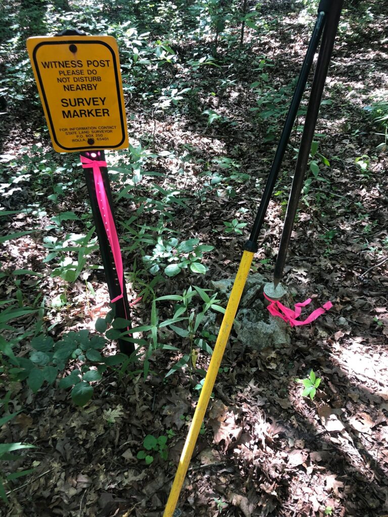
Discover how a land survey is marked by the experts at Principal Meridian Surveying, Inc. in South Florida.
Read MoreWhat is a Land Survey?
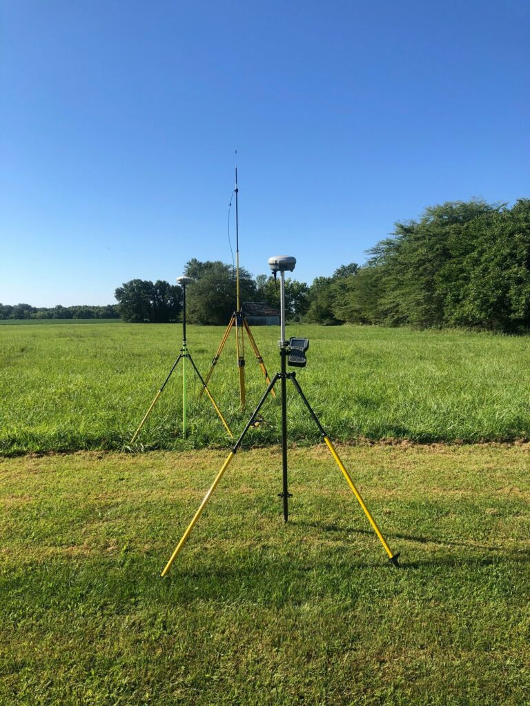
Learn more about Land Surveys from Principal Meridian Surveying, Inc. by clicking here.
Read MoreWhat is an ALTA Survey?

What is an ALTA Survey? Discover more here.
Read More