
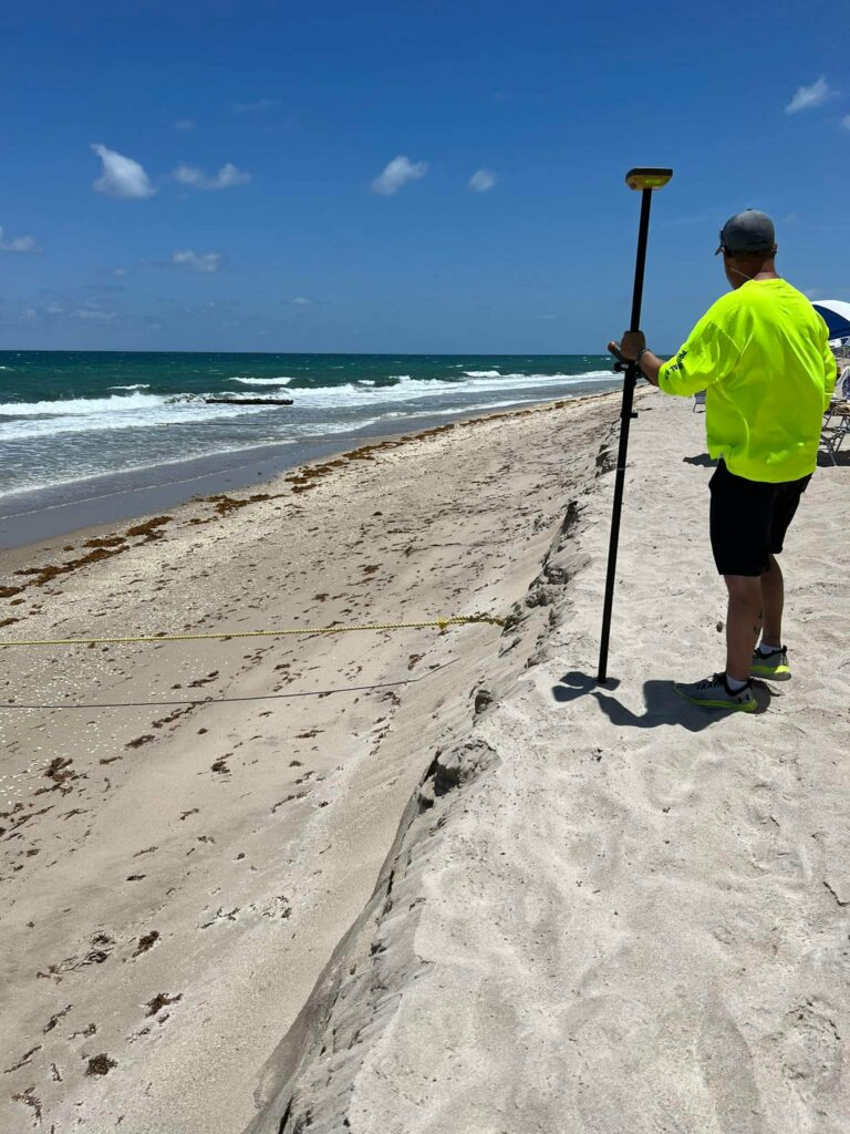
What Is A Real-Time Kinematic (RTK) Survey?
Real-time kinematic, also known as RTK, is a surveying technology which measures the relative positions while using two different Global Navigation Satellite System (GNSS) antennas in real-time with better accuracy. Errors found within GNSS results are decided and fixed using RTK technology. The new generation of intelligent RTK systems provide reception of all available satellite signals. Because of this, slope measurement can be taken without centering, and calibration increases productivity by 20%. With this high tech technology, it ensures continuation of a RTK survey, incase of temporary interruption of correction signal reception
RTK is mainly used for construction applications that require higher frequency, such as cadastral survey, drone navigation, and other construction activities. Therefore, this technology is unavailable in marine areas, lands with obstructions such as trees, mountains, etc. , or projects that could disrupt communication. The RTK system requires a pre-surveyed base station with known coordinates beforehand.
Surveying in South Florida
Principal Meridian Surveying, Inc. in West Palm Beach, Florida provides both commercial surveys and residential surveys. We are the premier land surveyor in south Florida and service the area between Port St. Lucie, Florida and Miami, Florida.
Principal Meridian Surveying, Inc. has 27 years of survey experience in south Florida. As your resident survey specialists, Principal Meridian Surveying, Inc. will deliver exceptional service, industry-leading quality of work, competitive pricing, and a fast turnaround to meet your critical deadlines.
Look no further for your south Florida survey needs than Principal Meridian Surveying, Inc. in West Palm Beach, FL.